Geolocate

Kirchheim topographic map

Click on the map to display elevation.

About this map

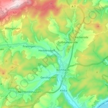
Name: Kirchheim topographic map, elevation, terrain.

Location: Kirchheim, Landkreis Hersfeld-Rotenburg, Hesse, 36275, Germany (50.80734 9.49479 50.89058 9.63022)

Average elevation: 1,171 ft

Minimum elevation: 676 ft

Maximum elevation: 2,083 ft

Gear up for your next adventure:

🏕️Tent Footprint - Protect your tent base from wear
🧤Hiking Gloves - Protective gloves for rugged trails
🚑Emergency Bivvies - Heat-reflective sleeping bags for survival situations
Backpacking Tent - Lightweight and durable tent for multi‑day hikes
🔌USB Car Charger - Car charger for on‑the‑go power needs

As an Amazon Associate, this site earns from qualifying purchases at no extra cost to you.