
Conway topographic map
Click on the map to display elevation.
About this map
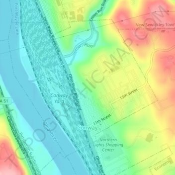
Name: Conway topographic map, elevation, terrain.
Location: Conway, Beaver County, Pennsylvania, 15027, United States (40.65536 -80.25538 40.67647 -80.22496)
Average elevation: 837 ft
Minimum elevation: 673 ft
Maximum elevation: 1,145 ft
Beaver County trails, hiking, mountain biking, running and outdoor activities
Other topographic maps
Click on a map to view its topography, its elevation and its terrain.