
石港镇 topographic map
Interactive map
Click on the map to display elevation.
About this map
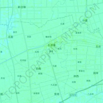
Name: 石港镇 topographic map, elevation, terrain.
Location: 石港镇, 通州区, 南通市, 江苏省, 226300, 中国 (32.15650 120.84737 32.26206 121.02080)
Average elevation: 16 ft
Minimum elevation: 10 ft
Maximum elevation: 26 ft
Other topographic maps
Click on a map to view its topography, its elevation and its terrain.