
Musti topographic map
Interactive map
Click on the map to display elevation.
About this map
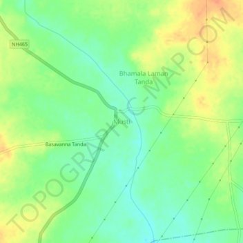
Name: Musti topographic map, elevation, terrain.
Average elevation: 1,598 ft
Minimum elevation: 1,535 ft
Maximum elevation: 1,670 ft
Other topographic maps
Click on a map to view its topography, its elevation and its terrain.
Akole
India > Maharashtra > Solapur South
Akole, Solapur South, Solapur, Maharashtra, India
Average elevation: 1,457 ft
Dhotri
India > Maharashtra > Solapur South
Dhotri, Solapur South, Solapur District, Maharashtra, India
Average elevation: 1,673 ft