Geolocate

Rioseco topographic map

Click on the map to display elevation.

About this map

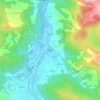
Name: Rioseco topographic map, elevation, terrain.

Location: Rioseco, Guriezo, Cantabria, 39788, Spain (43.34468 -3.33745 43.38468 -3.29745)

Average elevation: 505 ft

Minimum elevation: -3 ft

Maximum elevation: 1,762 ft

Gear up for your next adventure:

🦶Carbon Trekking Poles - Reduce knee impact on steep descents with ultra-light poles
🧭GPS Watch Accessories - Bands and chargers for GPS watches
🏕️Tent Footprint - Protect your tent base from wear
🌄Hiking Binoculars - Compact binoculars for scenic views and trail spotting
🧦Hiking Socks - Comfortable socks to prevent blisters on long hikes

As an Amazon Associate, this site earns from qualifying purchases at no extra cost to you.