Geolocate

Ichapur topographic map

Click on the map to display elevation.

About this map

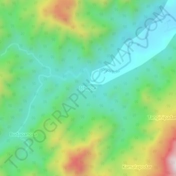
Name: Ichapur topographic map, elevation, terrain.

Location: Ichapur, Narayanpatana, Koraput, Odisha, India (18.80033 83.03499 18.84033 83.07499)

Average elevation: 2,339 ft

Minimum elevation: 1,542 ft

Maximum elevation: 4,163 ft

Gear up for your next adventure:

🚁Photography Drones - Capture stunning aerial views of landforms and topography
🔦Compact Flashlight - Reliable flashlight for emergencies
🔊Portable Camp Speaker - Music and alerts at camp
🛠️Backpacking Tool Kit - Essential toolkit for outdoor repairs
🔋Solar Power Banks - Keep your GPS and phone charged in remote wilderness areas

As an Amazon Associate, this site earns from qualifying purchases at no extra cost to you.