Geolocate

Cheak topographic map

Click on the map to display elevation.

About this map

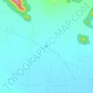
Name: Cheak topographic map, elevation, terrain.

Location: Cheak, Borsedth, Kampong Speu, Cambodia (11.23889 104.49354 11.27889 104.53354)

Average elevation: 253 ft

Minimum elevation: 184 ft

Maximum elevation: 807 ft

Gear up for your next adventure:

🔥Fast-Boil Camping Stoves - Efficient cooking systems for quick trail meals
🩹Survival Bandages - High‑quality bandages for emergencies
🗺️Topographic Maps - Detailed topo maps for hiking, exploring and outdoor navigation
🧭Pro Hiking Compasses - High-accuracy liquid-filled compasses for topographic orientation
📡Handheld GPS Device - Reliable handheld GPS for outdoor navigation

As an Amazon Associate, this site earns from qualifying purchases at no extra cost to you.