
桐梓镇 topographic map
Interactive map
Click on the map to display elevation.
About this map
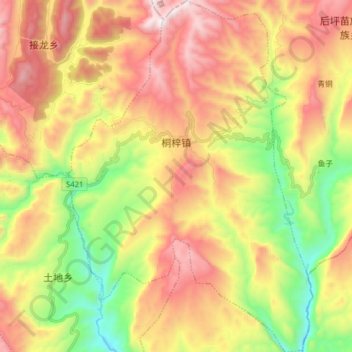
Name: 桐梓镇 topographic map, elevation, terrain.
Location: 桐梓镇, 武隆区, 重庆市, 中国 (29.47599 107.90488 29.61295 108.01437)
Average elevation: 3,271 ft
Minimum elevation: 1,050 ft
Maximum elevation: 5,604 ft
Other topographic maps
Click on a map to view its topography, its elevation and its terrain.