
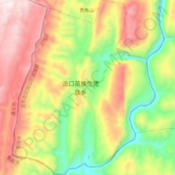
浩口乡 topographic map
Interactive map
Click on the map to display elevation.
About this map
Name: 浩口乡 topographic map, elevation, terrain.
Location: 浩口乡, 武隆区, 重庆市, 中国 (29.03732 107.78147 29.14819 107.88490)
Average elevation: 3,012 ft
Minimum elevation: 919 ft
Maximum elevation: 5,574 ft
Other topographic maps
Click on a map to view its topography, its elevation and its terrain.