Geolocate

Rhome topographic map

Click on the map to display elevation.

About this map
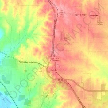
Name: Rhome topographic map, elevation, terrain.

Location: Rhome, Wise County, Texas, United States (33.02524 -97.51874 33.10865 -97.41335)

Average elevation: 850 ft

Minimum elevation: 650 ft

Maximum elevation: 984 ft

Wise County trails, hiking, mountain biking, running and outdoor activities

Gear up for your next adventure:

🌡️Handheld Weather Meters - Measure wind, temp, and pressure for safe mountain travel
🧤Tactile Hiking Gloves - Keep hands warm while operating GPS and smartphone screens
🧷Carabiner Set - Durable clips for gear attachment
🌲Outdoor Survival Books - Best books on survival skills
🪶Paracord Bracelet - Survival bracelet with built‑in tools

As an Amazon Associate, this site earns from qualifying purchases at no extra cost to you.