Geolocate

The Pas topographic map

Click on the map to display elevation.

About this map

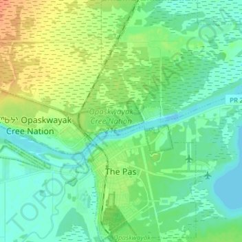
Name: The Pas topographic map, elevation, terrain.

Location: The Pas, Division No. 21, Manitoba, Canada (53.80096 -101.26166 53.87491 -101.15194)

Average elevation: 879 ft

Minimum elevation: 843 ft

Maximum elevation: 948 ft

Gear up for your next adventure:

Backpacking Tent - Lightweight and durable tent for multi‑day hikes
🔥Plasma Lighters - Windproof lighters that work in any weather condition
🕶️GPS Smartphone Mount - Secure mount for phone navigation
🎒Trekking Poles - Sturdy poles for balance and stability on rough terrain
🩹Survival Bandages - High‑quality bandages for emergencies

As an Amazon Associate, this site earns from qualifying purchases at no extra cost to you.