Geolocate

Sector 74 topographic map

Click on the map to display elevation.

About this map

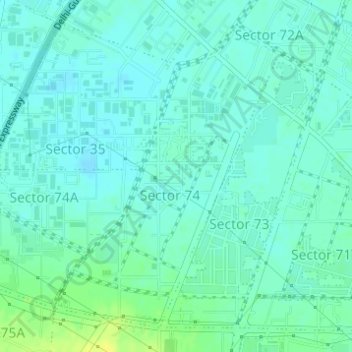
Name: Sector 74 topographic map, elevation, terrain.

Location: Sector 74, Gurgaon, Gurugram, Haryana, India (28.40083 77.00001 28.42408 77.01970)

Average elevation: 738 ft

Minimum elevation: 719 ft

Maximum elevation: 781 ft

Other topographic maps

Click on a map to view its topography, its elevation and its terrain.

Badshahpur

India > Haryana > Gurgaon

Average elevation: 748 ft

Damdama Lake

India > Haryana > Gurgaon

Average elevation: 794 ft

Gear up for your next adventure:

🔥Fast-Boil Camping Stoves - Efficient cooking systems for quick trail meals
📖Nature Tracking Books - Learn to track wildlife and terrain
📚USA Hiking Guide Books - Top trail guides and map books
😴Insulated Sleeping Pads - Compact and warm pads for high-elevation camping
🚗GPS Dash Cams - Record your scenic drives through mountain passes and canyons

As an Amazon Associate, this site earns from qualifying purchases at no extra cost to you.