
RSCN Dibeen Forest Reserve topographic map
Interactive map
Click on the map to display elevation.
About this map
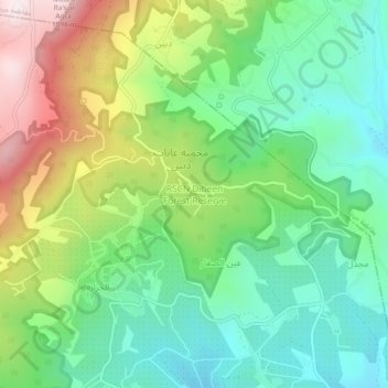
Name: RSCN Dibeen Forest Reserve topographic map, elevation, terrain.
Average elevation: 2,113 ft
Minimum elevation: 1,309 ft
Maximum elevation: 3,619 ft
Other topographic maps
Click on a map to view its topography, its elevation and its terrain.
Majdal
Jordan > Jarash > Borma Sub-District
Majdal, Borma Sub-District, Qasabah Jerash, Jarash, Jordan
Average elevation: 1,598 ft
Husainyyat
Jordan > Jarash > Borma Sub-District
Husainyyat, Borma Sub-District, Qasabah Jerash, Jarash, 26710, Jordan
Average elevation: 3,166 ft
King Talal Dam
Jordan > Jarash > Borma Sub-District
King Talal Dam, Borma Sub-District, Qasabah Jerash, Jarash, Jordan
Average elevation: 883 ft