
Thank you for supporting this site ❤️
Make a donation
Make a donation
Gear up for your next adventure:
As an Amazon Associate, this site earns from qualifying purchases at no extra cost to you.
Majdal topographic map
Click on the map to display elevation.
Thank you for supporting this site ❤️
Make a donation
Make a donation
Gear up for your next adventure:
As an Amazon Associate, this site earns from qualifying purchases at no extra cost to you.
About this map
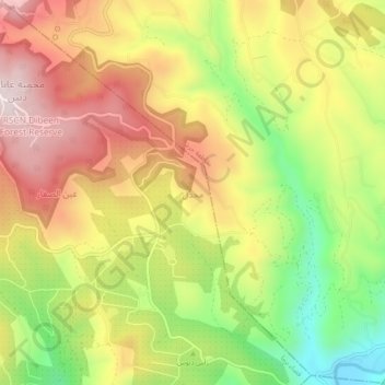
Name: Majdal topographic map, elevation, terrain.
Location: Majdal, Borma Sub-District, Qasabah Jerash, Jarash, Jordan (32.21333 35.83000 32.25333 35.87000)
Average elevation: 1,598 ft
Minimum elevation: 682 ft
Maximum elevation: 2,428 ft
Thank you for supporting this site ❤️
Make a donation
Make a donation
Gear up for your next adventure:
As an Amazon Associate, this site earns from qualifying purchases at no extra cost to you.