Geolocate

Nobleton topographic map

Click on the map to display elevation.

About this map

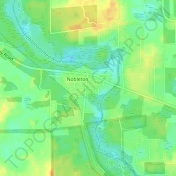
Name: Nobleton topographic map, elevation, terrain.

Location: Nobleton, Hernando County, Florida, 34661, United States (28.63931 -82.27039 28.64895 -82.25675)

Average elevation: 69 ft

Minimum elevation: 23 ft

Maximum elevation: 118 ft

Hernando County trails, hiking, mountain biking, running and outdoor activities

Gear up for your next adventure:

GPS Sports Watch - GPS watch for running, hiking and training
🔭Compact Binoculars - HD vision for scouting terrain and identifying distant landmarks
🚑Emergency Bivvies - Heat-reflective sleeping bags for survival situations
🧴Hand Sanitizer - Keep hands clean while hiking
🗺️NatGeo Topo Maps - High-quality waterproof printed topographic maps of US Parks

As an Amazon Associate, this site earns from qualifying purchases at no extra cost to you.