Geolocate

Ship Channel Cay topographic map

Click on the map to display elevation.

About this map

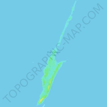
Name: Ship Channel Cay topographic map, elevation, terrain.

Location: Ship Channel Cay, Exuma, Bahamas (24.80335 -76.82991 24.84706 -76.81121)

Average elevation: 0 ft

Minimum elevation: 0 ft

Maximum elevation: 66 ft

Gear up for your next adventure:

🎒Outdoor Daypacks - Lightweight backpacks designed for carrying maps and essential gear
🎒Trail Energy Bars - High‑calorie bars for hiking energy
🪶Multi‑Purpose Knife - Useful blade for camp and trail
🔭Compact Binoculars - HD vision for scouting terrain and identifying distant landmarks
🛰️Satellite Messengers - Emergency SOS and two-way messaging for off-grid adventures

As an Amazon Associate, this site earns from qualifying purchases at no extra cost to you.