
Thank you for supporting this site ❤️
Make a donation
Make a donation
Gear up for your next adventure:
As an Amazon Associate, this site earns from qualifying purchases at no extra cost to you.
Sarıalan topographic map
Click on the map to display elevation.
Thank you for supporting this site ❤️
Make a donation
Make a donation
Gear up for your next adventure:
As an Amazon Associate, this site earns from qualifying purchases at no extra cost to you.
About this map
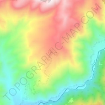
Name: Sarıalan topographic map, elevation, terrain.
Location: Sarıalan, Amasya, Black Sea Region, Turkey (40.49417 36.20208 40.53417 36.24208)
Average elevation: 3,222 ft
Minimum elevation: 2,182 ft
Maximum elevation: 4,446 ft
Thank you for supporting this site ❤️
Make a donation
Make a donation
Gear up for your next adventure:
As an Amazon Associate, this site earns from qualifying purchases at no extra cost to you.