Geolocate

Hierro topographic map

Click on the map to display elevation.

About this map

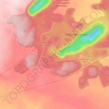
Name: Hierro topographic map, elevation, terrain.

Location: Hierro, Marcona, Province of Nasca, Ica, Peru (-15.23018 -75.14199 -15.19018 -75.10199)

Average elevation: 2,605 ft

Minimum elevation: 1,847 ft

Maximum elevation: 2,851 ft

Other topographic maps

Click on a map to view its topography, its elevation and its terrain.

San Nicolás Bay

Peru > Ica > Marcona

Average elevation: 472 ft

Gear up for your next adventure:

📻Weather Alert Radios - Stay informed of storm risks while off-the-grid
📡Handheld GPS Device - Reliable handheld GPS for outdoor navigation
🔥Fast-Boil Camping Stoves - Efficient cooking systems for quick trail meals
🕶️Glacier Sunglasses - Side shields to protect eyes from high-altitude snow glare
🧭Hiking Compass - Precision compass for reliable navigation in the wilderness

As an Amazon Associate, this site earns from qualifying purchases at no extra cost to you.