
Hamelin topographic map
Click on the map to display elevation.
About this map
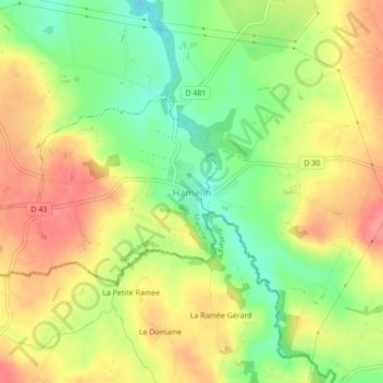
Name: Hamelin topographic map, elevation, terrain.
Average elevation: 420 ft
Minimum elevation: 282 ft
Maximum elevation: 541 ft
Other topographic maps
Click on a map to view its topography, its elevation and its terrain.
La Ligotière
France > Normandy > Manche > Villedieu-les-Poêles-Rouffigny > Villedieu-les-Poêles
Average elevation: 531 ft