Geolocate

Manco Capac topographic map

Click on the map to display elevation.

About this map

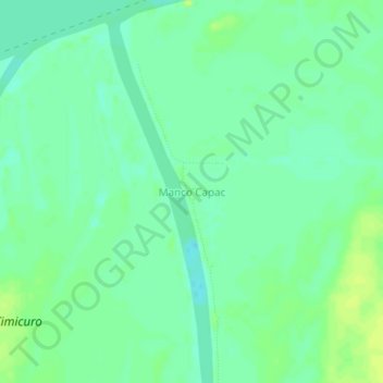
Name: Manco Capac topographic map, elevation, terrain.

Location: Manco Capac, Indiana, Maynas, Loreto, Perú (-3.53803 -73.02398 -3.49803 -72.98398)

Average elevation: 276 ft

Minimum elevation: 249 ft

Maximum elevation: 302 ft

Gear up for your next adventure:

☀️Outdoor Sunscreen - High protection sunscreen for outdoor activities
🗻Climbing Gear Basics - Essential gear for beginner climbers
🪶Fire Starter Kit - Reliable fire starter for survival and camping
🏔️Mountain Trail Maps - High‑detail maps for popular peaks
🏕️Family Camping Gear - Essentials for group camping trips

As an Amazon Associate, this site earns from qualifying purchases at no extra cost to you.