

Ogre topographic map
Click on the map to display elevation.
Ogre
Baintha Brakk is exceptional in its combination of altitude, height above local terrain, and steepness. It is a complex granite tower, steeper and rockier than most other Karakoram peaks. (The Latok peaks next to Baintha Brakk are similar, however.) For example, its South Face rises over 3,000 m (9,800 ft) above the Uzun Brakk Glacier in only 2 km (1.2 mi) of horizontal distance.
About this map
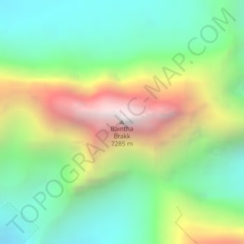
Name: Ogre topographic map, elevation, terrain.
Average elevation: 19,203 ft
Minimum elevation: 16,752 ft
Maximum elevation: 23,537 ft
Other topographic maps
Click on a map to view its topography, its elevation and its terrain.

Biafo Glacier
Pakistan > Gilgit-Baltistan > Shigar District
Biafo Glacier converging at Hispar La with 49 kilometres (30 mi) long Hispar Glacier situated at an elevation of 5,128 metres (16,824 ft), forms the glacial system considered as the world's longest non-polar glacial system which spans an overall distance of around 120 kilometres (75 mi). This frozen pathway…
Average elevation: 15,151 ft
