Geolocate

Al Qastal topographic map

Click on the map to display elevation.

About this map

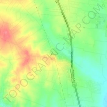
Name: Al Qastal topographic map, elevation, terrain.

Location: Al Qastal, Jizah Sub-District, Jizah District, Amman, Jordan (31.73000 35.91333 31.77000 35.95333)

Average elevation: 2,428 ft

Minimum elevation: 2,323 ft

Maximum elevation: 2,543 ft

Gear up for your next adventure:

🧯Emergency Survival Kit - All‑in‑one survival essentials for the backcountry
🩹Survival Bandages - High‑quality bandages for emergencies
🛠️Backpacking Tool Kit - Essential toolkit for outdoor repairs
🛡️Bear Spray Outdoor - Protection in bear country hikes
🧭GPS Watch Accessories - Bands and chargers for GPS watches

As an Amazon Associate, this site earns from qualifying purchases at no extra cost to you.