
娘子关镇 topographic map
Interactive map
Click on the map to display elevation.
About this map
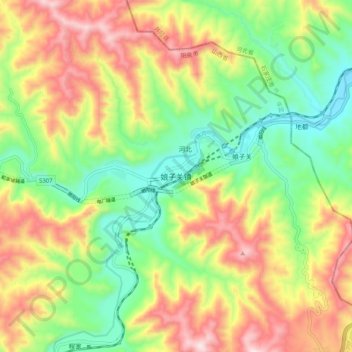
Name: 娘子关镇 topographic map, elevation, terrain.
Location: 娘子关镇, 平定县, 阳泉市, 山西省, 045203, 中国 (37.92099 113.83066 38.00099 113.91066)
Average elevation: 1,880 ft
Minimum elevation: 1,076 ft
Maximum elevation: 2,936 ft
Other topographic maps
Click on a map to view its topography, its elevation and its terrain.