
巨城镇 topographic map
Interactive map
Click on the map to display elevation.
About this map
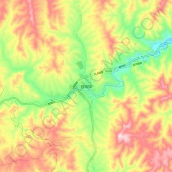
Name: 巨城镇 topographic map, elevation, terrain.
Location: 巨城镇, 平定县, 阳泉市, 山西省, 中国 (37.90148 113.67992 37.98148 113.75992)
Average elevation: 2,320 ft
Minimum elevation: 1,581 ft
Maximum elevation: 3,038 ft
Other topographic maps
Click on a map to view its topography, its elevation and its terrain.