
Make a donation
Gear up for your next adventure:
As an Amazon Associate, this site earns from qualifying purchases at no extra cost to you.
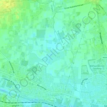
Emelgem topographic map
Click on the map to display elevation.
Make a donation
Gear up for your next adventure:
As an Amazon Associate, this site earns from qualifying purchases at no extra cost to you.
Emelgem
Emelgem ligt in Zandlemig Vlaanderen op een hoogte van ongeveer 16 meter. Het ligt aan de Mandel, welke in 1979 overkluisd werd. Ook ligt het aan het Kanaal Roeselare-Leie, waar de bebouwing overgaat in die van Kachtem in het westen, en Ingelmunster in het oosten. Aan de zuidzijde van het kanaal ligt de bebouwing van Izegem.
Make a donation
Gear up for your next adventure:
As an Amazon Associate, this site earns from qualifying purchases at no extra cost to you.
About this map
Name: Emelgem topographic map, elevation, terrain.
Location: Emelgem, Izegem, Roeselare, West-Vlaanderen, Vlaanderen, België (50.92002 3.20386 50.94762 3.23864)
Average elevation: 59 ft
Minimum elevation: 39 ft
Maximum elevation: 98 ft
Make a donation
Gear up for your next adventure:
As an Amazon Associate, this site earns from qualifying purchases at no extra cost to you.