Geolocate

Isri topographic map

Click on the map to display elevation.

About this map

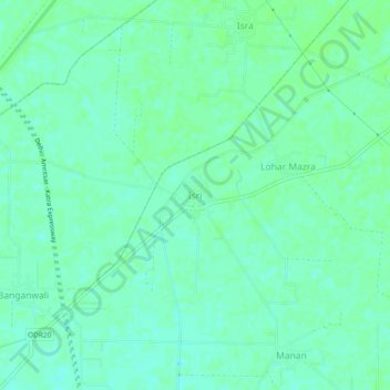
Name: Isri topographic map, elevation, terrain.

Location: Isri, Dhuri Tahsil, Sangrur District, Punjab, India (30.40011 75.91651 30.44011 75.95651)

Average elevation: 807 ft

Minimum elevation: 791 ft

Maximum elevation: 814 ft

Gear up for your next adventure:

🛰️Satellite Messengers - Emergency SOS and two-way messaging for off-grid adventures
🧯Emergency Survival Kit - All‑in‑one survival essentials for the backcountry
🦺Reflective Outdoor Gear - Safety gear for low‑light conditions
📌Outdoor GPS Map App - Apps and devices for digital topographic navigation
🧷Carabiner Set - Durable clips for gear attachment

As an Amazon Associate, this site earns from qualifying purchases at no extra cost to you.