Geolocate

Dhiban topographic map

Click on the map to display elevation.

About this map

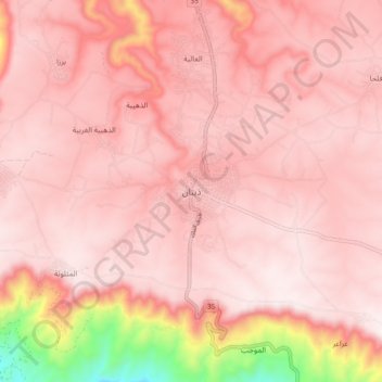
Name: Dhiban topographic map, elevation, terrain.

Location: Dhiban, Dieban Sub-District, Dieban District, Madaba, Jordan (31.45851 35.74009 31.53851 35.82009)

Average elevation: 2,123 ft

Minimum elevation: 351 ft

Maximum elevation: 2,575 ft

Gear up for your next adventure:

🏫Relief Map Kits - Hands-on tools for teaching landforms and elevation
🛠️Outdoor Gear Repair Kit - Essential tools to fix gear on the trail
🧦Hiking Socks - Comfortable socks to prevent blisters on long hikes
🎒Waterproof Dry Bags - Keep your electronics and maps dry inside your pack
🥩Freeze-Dried Meals - Nutritious and lightweight food for remote expeditions

As an Amazon Associate, this site earns from qualifying purchases at no extra cost to you.