
Thank you for supporting this site ❤️
Make a donation
Make a donation
Gear up for your next adventure:
As an Amazon Associate, this site earns from qualifying purchases at no extra cost to you.
Toturu topographic map
Click on the map to display elevation.
Thank you for supporting this site ❤️
Make a donation
Make a donation
Gear up for your next adventure:
As an Amazon Associate, this site earns from qualifying purchases at no extra cost to you.
About this map
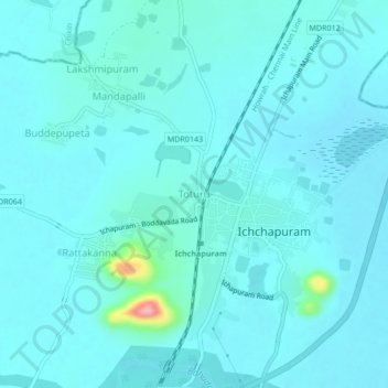
Name: Toturu topographic map, elevation, terrain.
Location: Toturu, Ichchapuram, Srikakulam, Andhra Pradesh, 532312, India (19.09655 84.65995 19.13655 84.69995)
Average elevation: 49 ft
Minimum elevation: 3 ft
Maximum elevation: 449 ft
Thank you for supporting this site ❤️
Make a donation
Make a donation
Gear up for your next adventure:
As an Amazon Associate, this site earns from qualifying purchases at no extra cost to you.