
Greenfield topographic map
Click on the map to display elevation.
About this map
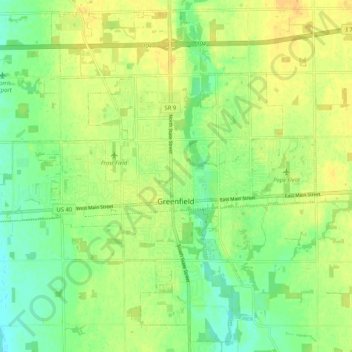
Name: Greenfield topographic map, elevation, terrain.
Location: Greenfield, Hancock County, Indiana, 46140, United States (39.75355 -85.83060 39.82882 -85.72691)
Average elevation: 892 ft
Minimum elevation: 846 ft
Maximum elevation: 935 ft
Hancock County trails, hiking, mountain biking, running and outdoor activities
Other topographic maps
Click on a map to view its topography, its elevation and its terrain.