
Thank you for supporting this site ❤️
Make a donation
Make a donation
Gear up for your next adventure:
As an Amazon Associate, this site earns from qualifying purchases at no extra cost to you.
Sanguinetti topographic map
Click on the map to display elevation.
Thank you for supporting this site ❤️
Make a donation
Make a donation
Gear up for your next adventure:
As an Amazon Associate, this site earns from qualifying purchases at no extra cost to you.
About this map
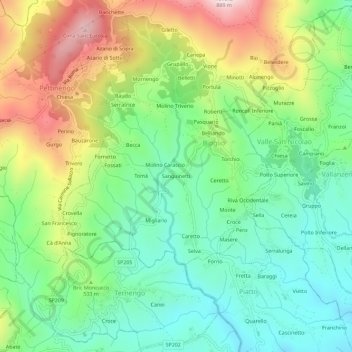
Name: Sanguinetti topographic map, elevation, terrain.
Location: Sanguinetti, Bioglio, Biella, Piemonte, 13841, Italia (45.58304 8.10355 45.62304 8.14355)
Average elevation: 1,631 ft
Minimum elevation: 1,007 ft
Maximum elevation: 2,723 ft
Thank you for supporting this site ❤️
Make a donation
Make a donation
Gear up for your next adventure:
As an Amazon Associate, this site earns from qualifying purchases at no extra cost to you.