Geolocate

Lalgudi topographic map

Click on the map to display elevation.

About this map

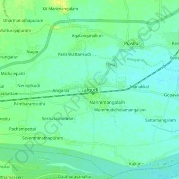
Name: Lalgudi topographic map, elevation, terrain.

Location: Lalgudi, Tiruchirappalli, Tamil Nadu, 621600, India (10.83716 78.77389 10.91716 78.85389)

Average elevation: 197 ft

Minimum elevation: 177 ft

Maximum elevation: 236 ft

Other topographic maps

Click on a map to view its topography, its elevation and its terrain.

Pudur Uthamanur

India > Tamil Nadu > Lalgudi

Average elevation: 233 ft

Gear up for your next adventure:

😴Insulated Sleeping Pads - Compact and warm pads for high-elevation camping
🎒Gear Packing Cubes - Organize your backpack efficiently
🎒Hydration Pack - Hands‑free water reservoir for long hikes
🧯Portable Fire Pit - Compact fire pit for camping spots
🔦LED Headlamp - Bright and durable LED headlamp for night navigation

As an Amazon Associate, this site earns from qualifying purchases at no extra cost to you.