Geolocate

Sonthofen topographic map

Click on the map to display elevation.

About this map

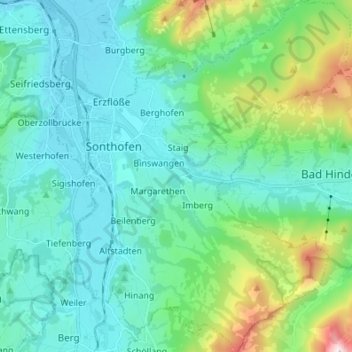
Name: Sonthofen topographic map, elevation, terrain.

Location: Sonthofen, Landkreis Oberallgäu, Bavaria, 87527, Germany (47.45954 10.25919 47.55159 10.37368)

Average elevation: 3,163 ft

Minimum elevation: 2,359 ft

Maximum elevation: 6,575 ft

Gear up for your next adventure:

📷Action Camera - Capture your outdoor adventures in HD
🔋Solar Power Banks - Keep your GPS and phone charged in remote wilderness areas
🪑Ultralight Camp Chairs - Portable seating for resting after a long day of mapping
🪶LED Camping Lantern - Bright lantern for camp lighting
📱Heavy-Duty Phone Cases - Drop-proof and waterproof protection for outdoor navigation

As an Amazon Associate, this site earns from qualifying purchases at no extra cost to you.