Geolocate

Cuilcagh topographic map

Click on the map to display elevation.

About this map

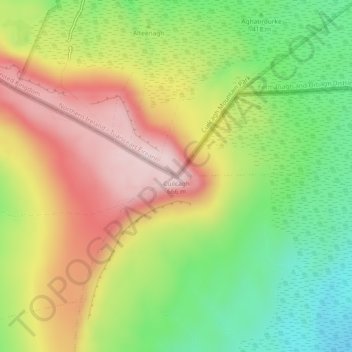
Name: Cuilcagh topographic map, elevation, terrain.

Location: Cuilcagh, County Fermanagh, Northern Ireland, United Kingdom (54.20070 -7.81179 54.20080 -7.81169)

Average elevation: 1,549 ft

Minimum elevation: 994 ft

Maximum elevation: 2,156 ft

Other topographic maps

Click on a map to view its topography, its elevation and its terrain.

Carr

United Kingdom > Northern Ireland > County Fermanagh

Average elevation: 197 ft

Gear up for your next adventure:

🏥Hiking First Aid Kits - Comprehensive medical kits for remote trail injuries
😴Insulated Sleeping Pads - Compact and warm pads for high-elevation camping
🛏️Cold Weather Sleeping Bag - Warm sleeping bag for cold conditions
⛑️Personal Locator Beacon - Safety beacon for emergencies
🌄Hiking Binoculars - Compact binoculars for scenic views and trail spotting

As an Amazon Associate, this site earns from qualifying purchases at no extra cost to you.