Geolocate

Anilao topographic map

Click on the map to display elevation.

About this map

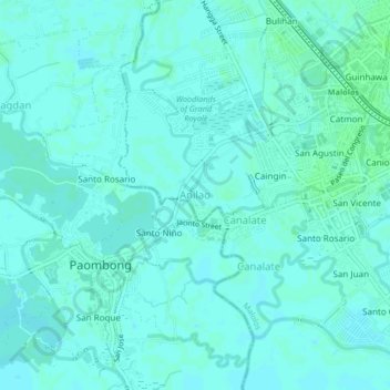
Name: Anilao topographic map, elevation, terrain.

Location: Anilao, Malolos, Bulacan, Central Luzon, 3001, Philippines (14.82356 120.77754 14.86356 120.81754)

Average elevation: 13 ft

Minimum elevation: 3 ft

Maximum elevation: 23 ft

Gear up for your next adventure:

🥄Camping Utensil Set - Lightweight utensils for outdoor meals
🩳Quick‑Dry Hiking Shorts - Comfortable and quick‑dry shorts for summer hiking
📚Navigation Handbooks - Master the art of reading topographic maps and using a compass
🦶Hiking Gaiters - Keep debris and water out of your boots
🛶Inflatable Kayak - Portable kayak for rivers, lakes, and expeditions

As an Amazon Associate, this site earns from qualifying purchases at no extra cost to you.