
Make a donation
Gear up for your next adventure:
As an Amazon Associate, this site earns from qualifying purchases at no extra cost to you.
Homburg topographic map
Click on the map to display elevation.
Make a donation
Gear up for your next adventure:
As an Amazon Associate, this site earns from qualifying purchases at no extra cost to you.
Homburg
Die Burg Homburg ist die Ruine einer hochmittelalterlichen Höhenburg bei Stahringen, einem Stadtteil von Radolfzell am Bodensee, und steht somit unweit des westlichen Bodenseeufers im Hegau, Landkreis Konstanz, Baden-Württemberg.
Make a donation
Gear up for your next adventure:
As an Amazon Associate, this site earns from qualifying purchases at no extra cost to you.
About this map
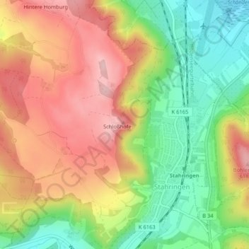
Name: Homburg topographic map, elevation, terrain.
Average elevation: 1,677 ft
Minimum elevation: 1,316 ft
Maximum elevation: 2,034 ft
Make a donation
Gear up for your next adventure:
As an Amazon Associate, this site earns from qualifying purchases at no extra cost to you.