Geolocate

San Rafael topographic map

Click on the map to display elevation.

About this map

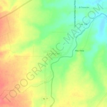
Name: San Rafael topographic map, elevation, terrain.

Location: San Rafael, Linares, Nuevo León, Mexico (24.73789 -99.68125 24.77789 -99.64125)

Average elevation: 1,519 ft

Minimum elevation: 1,414 ft

Maximum elevation: 1,617 ft

Gear up for your next adventure:

🧯Emergency Survival Kit - All‑in‑one survival essentials for the backcountry
🚪Portable Camp Chair - Foldable chair for comfort at camp
💧Water Purification System - Clean water on the trail with reliable purifiers
🛠️Backpacking Tool Kit - Essential toolkit for outdoor repairs
🚗GPS Dash Cams - Record your scenic drives through mountain passes and canyons

As an Amazon Associate, this site earns from qualifying purchases at no extra cost to you.