Geolocate

Patar topographic map

Click on the map to display elevation.

About this map

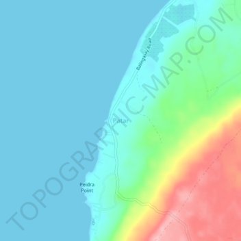
Name: Patar topographic map, elevation, terrain.

Location: Patar, Bolinao, Pangasinan, Ilocos Region, 2406, Philippines (16.29979 119.76604 16.33979 119.80604)

Average elevation: 105 ft

Minimum elevation: 0 ft

Maximum elevation: 492 ft

Other topographic maps

Click on a map to view its topography, its elevation and its terrain.

Santiago Island

Philippines > Pangasinan > Bolinao

Average elevation: 30 ft

Gear up for your next adventure:

🛌Ultralight Sleeping Bags - Compact down bags for cold nights in the wilderness
🧭Map Reading Tools - Tools and kits for map navigation
🔦Compact Flashlight - Reliable flashlight for emergencies
🧣Hiking Neck Gaiter - Multi‑use neck protection for outdoor weather
🪶Paracord Bracelet - Survival bracelet with built‑in tools

As an Amazon Associate, this site earns from qualifying purchases at no extra cost to you.