Geolocate

Botinaccio topographic map

Click on the map to display elevation.

About this map

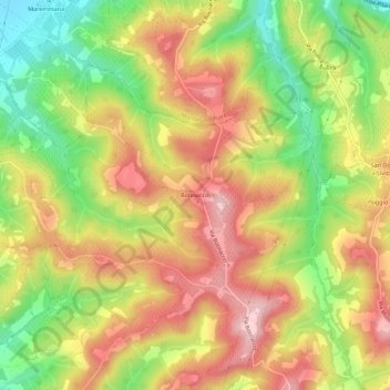
Name: Botinaccio topographic map, elevation, terrain.

Location: Botinaccio, Montespertoli, Florence, Tuscany, 59015, Italy (43.67217 11.00229 43.71217 11.04229)

Average elevation: 512 ft

Minimum elevation: 115 ft

Maximum elevation: 856 ft

Gear up for your next adventure:

🔪Outdoor Multitools - Essential survival tools for gear repair and field use
🌡️Handheld Weather Meters - Measure wind, temp, and pressure for safe mountain travel
🧣Merino Neck Gaiters - Multi-functional headwear for wind and sun protection
📱Solar Portable Charger - Solar power bank for charging devices off‑grid
🥇GPS Hiking Watch - Multi‑sport GPS watch with navigation and trail tracking

As an Amazon Associate, this site earns from qualifying purchases at no extra cost to you.