
Dosuru topographic map
Click on the map to display elevation.
About this map
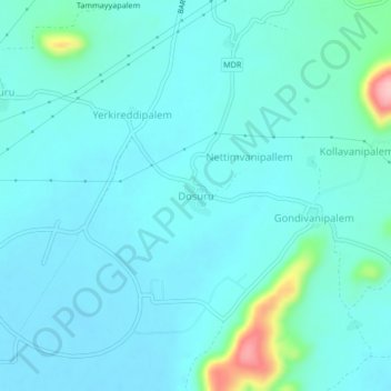
Name: Dosuru topographic map, elevation, terrain.
Location: Dosuru, Atchutapuram, Anakapalli, Andhra Pradesh, India (17.52730 83.01510 17.56730 83.05510)
Average elevation: 85 ft
Minimum elevation: 10 ft
Maximum elevation: 545 ft