
Bukit Chalok topographic map
Click on the map to display elevation.
About this map
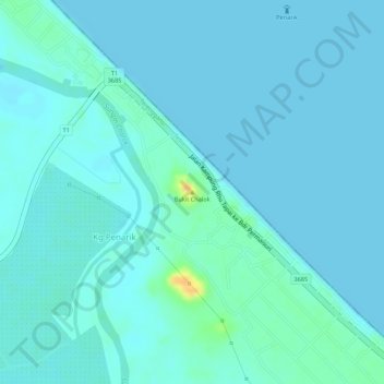
Name: Bukit Chalok topographic map, elevation, terrain.
Location: Bukit Chalok, Kg.Penarik, Setiu, Terengganu, 21010, Malaysia (5.59704 102.82185 5.59714 102.82195)
Average elevation: 16 ft
Minimum elevation: 0 ft
Maximum elevation: 112 ft