Geolocate

South Riding topographic map

Click on the map to display elevation.

About this map

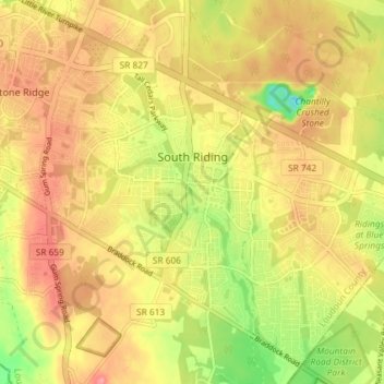
Name: South Riding topographic map, elevation, terrain.

Location: South Riding, Loudoun County, Virginia, 20152, United States (38.88715 -77.54589 38.93800 -77.47325)

Average elevation: 315 ft

Minimum elevation: 141 ft

Maximum elevation: 436 ft

Loudoun County trails, hiking, mountain biking, running and outdoor activities

Gear up for your next adventure:

☀️Outdoor Sunscreen - High protection sunscreen for outdoor activities
🧴Hand Sanitizer - Keep hands clean while hiking
🔌USB Car Charger - Car charger for on‑the‑go power needs
🛡️Insect Repellent - Protection against bugs during outdoor activities
🦶Hiking Gaiters - Keep debris and water out of your boots

As an Amazon Associate, this site earns from qualifying purchases at no extra cost to you.