
Dellroy topographic map
Click on the map to display elevation.
About this map
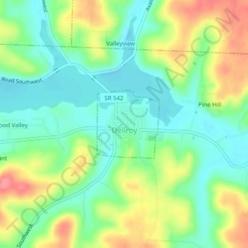
Name: Dellroy topographic map, elevation, terrain.
Location: Dellroy, Carroll County, Ohio, United States (40.55143 -81.20347 40.55881 -81.19452)
Average elevation: 1,020 ft
Minimum elevation: 915 ft
Maximum elevation: 1,188 ft
Carroll County trails, hiking, mountain biking, running and outdoor activities
Other topographic maps
Click on a map to view its topography, its elevation and its terrain.