Geolocate

Springer topographic map

Click on the map to display elevation.

About this map

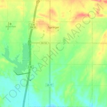
Name: Springer topographic map, elevation, terrain.

Location: Springer, Carter County, Oklahoma, 73458, United States (34.25993 -97.16068 34.33288 -97.07306)

Average elevation: 850 ft

Minimum elevation: 745 ft

Maximum elevation: 1,014 ft

Carter County trails, hiking, mountain biking, running and outdoor activities

Other topographic maps

Click on a map to view its topography, its elevation and its terrain.

Graham

United States > Oklahoma > Carter County

Average elevation: 942 ft

Tussy

United States > Oklahoma > Carter County

Average elevation: 974 ft

Fox

United States > Oklahoma > Carter County

Average elevation: 981 ft

Milo

United States > Oklahoma > Carter County

Average elevation: 906 ft

Pooleville

United States > Oklahoma > Carter County

Average elevation: 1,043 ft

Gear up for your next adventure:

🧣Merino Neck Gaiters - Multi-functional headwear for wind and sun protection
🦟Ultrasonic Repellers - Create a bug-free zone at your camp or rest stop
🪶Camp Gear Gift Set - Perfect gift bundle for outdoor fans
📖Nature Tracking Books - Learn to track wildlife and terrain
📱Heavy-Duty Phone Cases - Drop-proof and waterproof protection for outdoor navigation

As an Amazon Associate, this site earns from qualifying purchases at no extra cost to you.