
Thank you for supporting this site ❤️
Make a donation
Make a donation
Gear up for your next adventure:
As an Amazon Associate, this site earns from qualifying purchases at no extra cost to you.
Lalwadi topographic map
Click on the map to display elevation.
Thank you for supporting this site ❤️
Make a donation
Make a donation
Gear up for your next adventure:
As an Amazon Associate, this site earns from qualifying purchases at no extra cost to you.
About this map
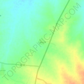
Name: Lalwadi topographic map, elevation, terrain.
Location: Lalwadi, Ambad, Jalna District, Maharashtra, 431204, India (19.64158 75.78644 19.68158 75.82644)
Average elevation: 1,640 ft
Minimum elevation: 1,591 ft
Maximum elevation: 1,706 ft
Thank you for supporting this site ❤️
Make a donation
Make a donation
Gear up for your next adventure:
As an Amazon Associate, this site earns from qualifying purchases at no extra cost to you.