
Spraberry topographic map
Click on the map to display elevation.
About this map
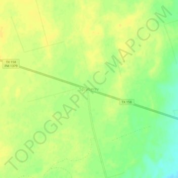
Name: Spraberry topographic map, elevation, terrain.
Location: Spraberry, Midland County, Texas, United States (31.90318 -101.84569 31.94318 -101.80569)
Average elevation: 2,641 ft
Minimum elevation: 2,592 ft
Maximum elevation: 2,661 ft
Midland County trails, hiking, mountain biking, running and outdoor activities
Other topographic maps
Click on a map to view its topography, its elevation and its terrain.
Chris Davidson Opportunity Park
United States > Texas > Midland County > Midland
Average elevation: 2,854 ft