Geolocate

Limestone topographic map

Click on the map to display elevation.

About this map

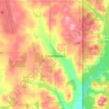
Name: Limestone topographic map, elevation, terrain.

Location: Limestone, County, Maine, United States (46.86579 -67.92920 46.95923 -67.78945)

Average elevation: 650 ft

Minimum elevation: 430 ft

Maximum elevation: 804 ft

County trails, hiking, mountain biking, running and outdoor activities

Gear up for your next adventure:

📱Heavy-Duty Phone Cases - Drop-proof and waterproof protection for outdoor navigation
🔥Camping Stove - Portable stove for camping and backcountry cooking
🌧️Backpack Rain Cover - Keep gear dry in wet weather
🧢Sun Protection Hats - Wide-brimmed and UPF-rated hats for high-altitude sun safety
🧤Tactile Hiking Gloves - Keep hands warm while operating GPS and smartphone screens

As an Amazon Associate, this site earns from qualifying purchases at no extra cost to you.