
Thank you for supporting this site ❤️
Make a donation
Make a donation
Gear up for your next adventure:
As an Amazon Associate, this site earns from qualifying purchases at no extra cost to you.
Tsarichina topographic map
Click on the map to display elevation.
Thank you for supporting this site ❤️
Make a donation
Make a donation
Gear up for your next adventure:
As an Amazon Associate, this site earns from qualifying purchases at no extra cost to you.
About this map
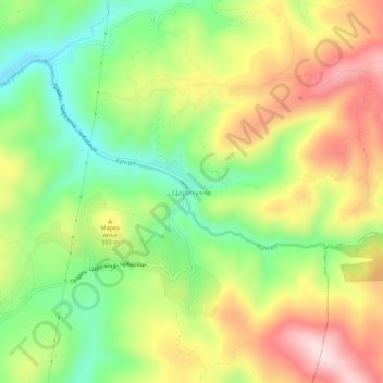
Name: Tsarichina topographic map, elevation, terrain.
Location: Tsarichina, Kostinbrod, Sofia, Bulgaria (42.87875 23.22495 42.91875 23.26495)
Average elevation: 2,936 ft
Minimum elevation: 2,421 ft
Maximum elevation: 3,543 ft
Thank you for supporting this site ❤️
Make a donation
Make a donation
Gear up for your next adventure:
As an Amazon Associate, this site earns from qualifying purchases at no extra cost to you.