
Make a donation
Gear up for your next adventure:
As an Amazon Associate, this site earns from qualifying purchases at no extra cost to you.
Shelton topographic map
Click on the map to display elevation.
Make a donation
Gear up for your next adventure:
As an Amazon Associate, this site earns from qualifying purchases at no extra cost to you.
About this map
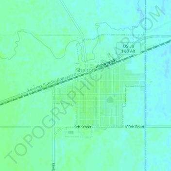
Name: Shelton topographic map, elevation, terrain.
Location: Shelton, Buffalo County, Nebraska, 68876, United States (40.77005 -98.74086 40.78630 -98.72163)
Average elevation: 2,021 ft
Minimum elevation: 2,008 ft
Maximum elevation: 2,031 ft
Buffalo County trails, hiking, mountain biking, running and outdoor activities
Make a donation
Gear up for your next adventure:
As an Amazon Associate, this site earns from qualifying purchases at no extra cost to you.
Other topographic maps
Click on a map to view its topography, its elevation and its terrain.
Kearney Cotton Mill Historical Marker
United States > Nebraska > Buffalo County > Cottonmill Mobile Home Court
Average elevation: 2,218 ft