
Kiona topographic map
Click on the map to display elevation.
About this map
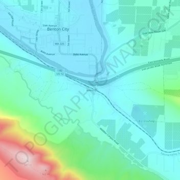
Name: Kiona topographic map, elevation, terrain.
Location: Kiona, Benton County, Washington, 99320, United States (46.22958 -119.49752 46.26958 -119.45752)
Average elevation: 735 ft
Minimum elevation: 456 ft
Maximum elevation: 1,932 ft
Benton County trails, hiking, mountain biking, running and outdoor activities
Other topographic maps
Click on a map to view its topography, its elevation and its terrain.