Geolocate

Springbrook topographic map

Click on the map to display elevation.

About this map

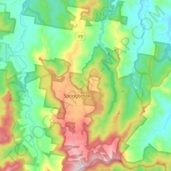
Name: Springbrook topographic map, elevation, terrain.

Location: Springbrook, Gold Coast City, Queensland, 4213, Australia (-28.24131 153.23762 -28.12913 153.31729)

Average elevation: 1,214 ft

Minimum elevation: 194 ft

Maximum elevation: 3,281 ft

Other topographic maps

Click on a map to view its topography, its elevation and its terrain.

Coomera Island

Australia > Queensland > Gold Coast City

Average elevation: 10 ft

Canyon Lookout

Australia > Queensland > Gold Coast City

Average elevation: 2,356 ft

Gear up for your next adventure:

🧯Portable Fire Pit - Compact fire pit for camping spots
🧣Merino Neck Gaiters - Multi-functional headwear for wind and sun protection
🪶Thermal Camp Blanket - Extra warmth for cold nights
🪵Folding Camp Saw - Compact saw for wood and campsite work
🚪Portable Camp Chair - Foldable chair for comfort at camp

As an Amazon Associate, this site earns from qualifying purchases at no extra cost to you.